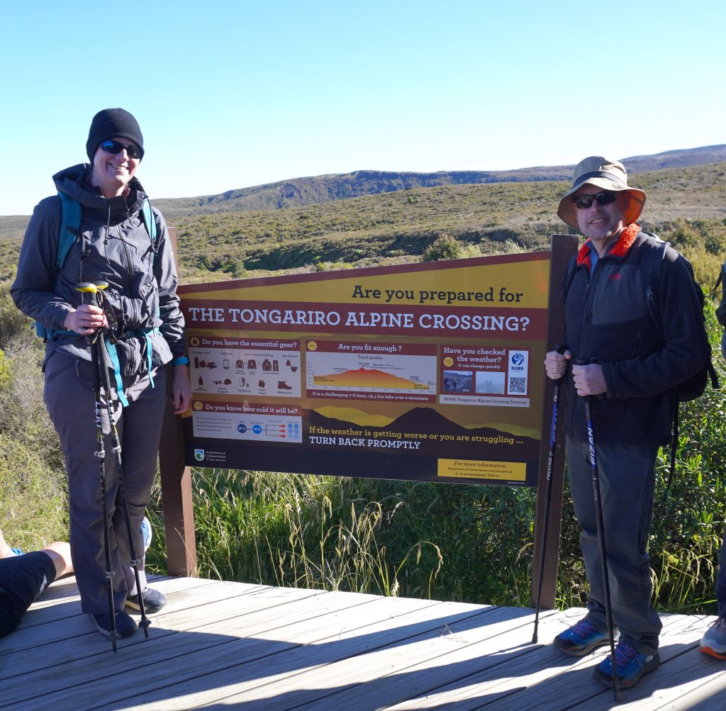
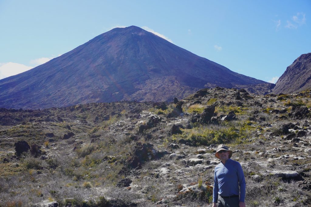
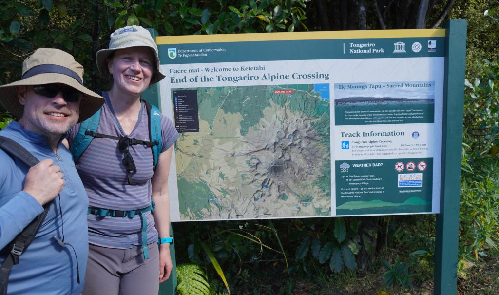
Before going to New Zealand we thought we might do some hiking, but we hadn’t heard of the Tongariro Alpine Crossing. It turns out that it’s is a very common hike for tourists to do. Faye had thought we might want to do it, and she registered us for it so we could walk it if we wanted. The hike is 20.2 km, so it’s not small, but it is a well-traveled route and has good trails for most of the way. Faye and also Deanna’s husband, Kevin, had encouraged us with their stories of the times they had walked it. After thinking it over, we decided we should try it, as long as the weather was good. The morning of the hike dawned sunny and beautiful, so Bob and Faye drove us up to the trailhead and we started off.
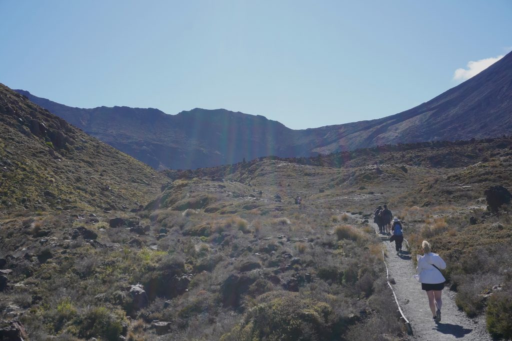
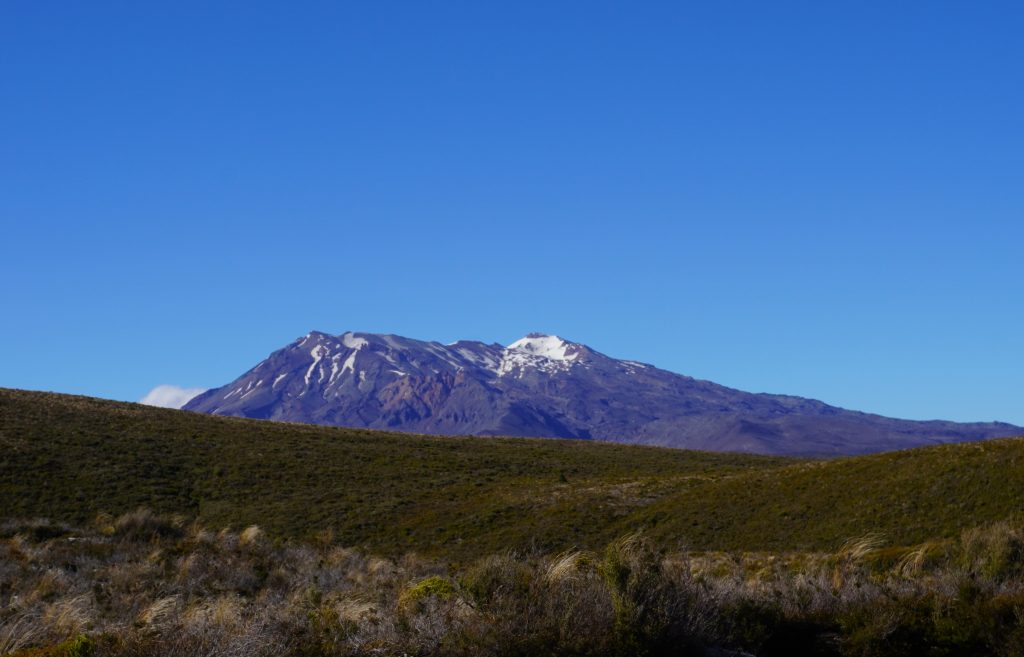
One thing we learned on this trip is that New Zealand’s network of trails is extremely well-maintained, and the Tongariro crossing is no exception. We started off over the wide, well-marked trail on the initial easy walk up Mangatepōpō Valley towards Soda Springs. There were hundreds of other people starting off with us, and throughout the course of the day we saw hikers of all kinds making the trek. From that part of the trail we had a clear view of Mt. Ruapeho, which was beautiful in the morning sunlight.
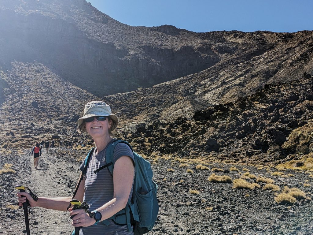
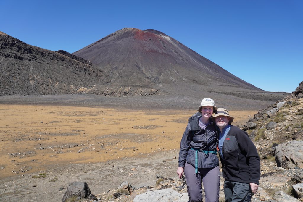
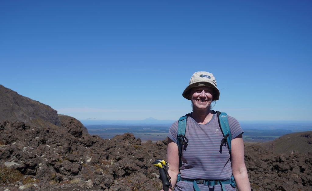
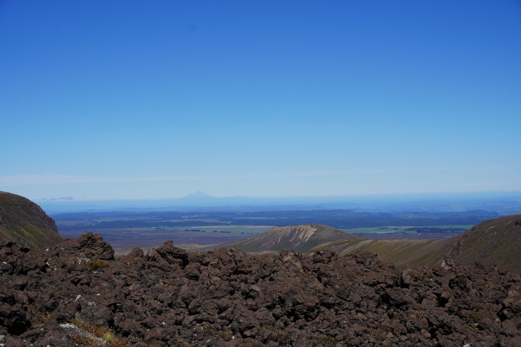
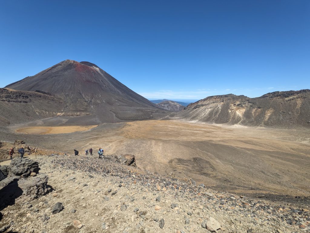
From Soda Springs, the trail heads up a series of steps to the South Crater, where you walk between Mt. Ngauruhoe and Mt. Tongariro. The views all around are gorgeous, and it was so clear we could even see Mt. Taranaki off in the distance.
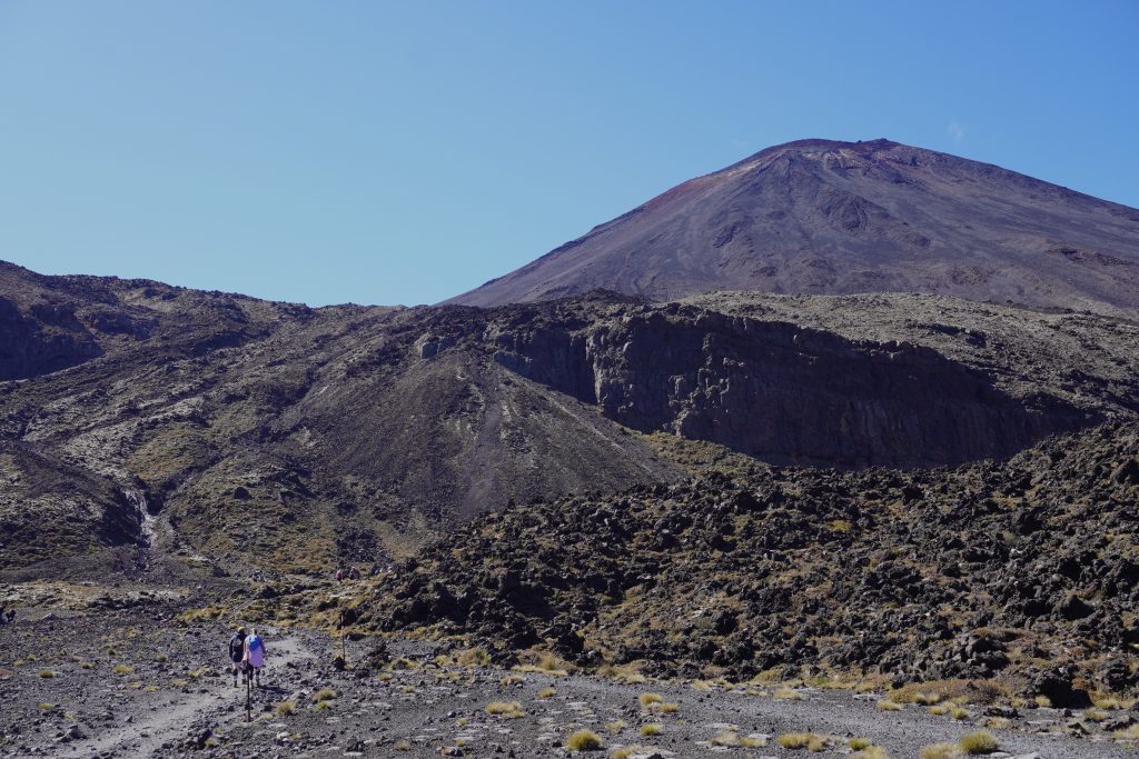
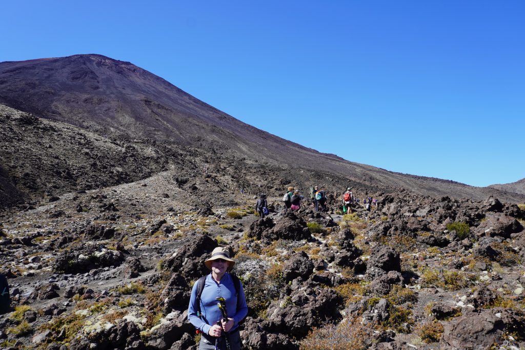
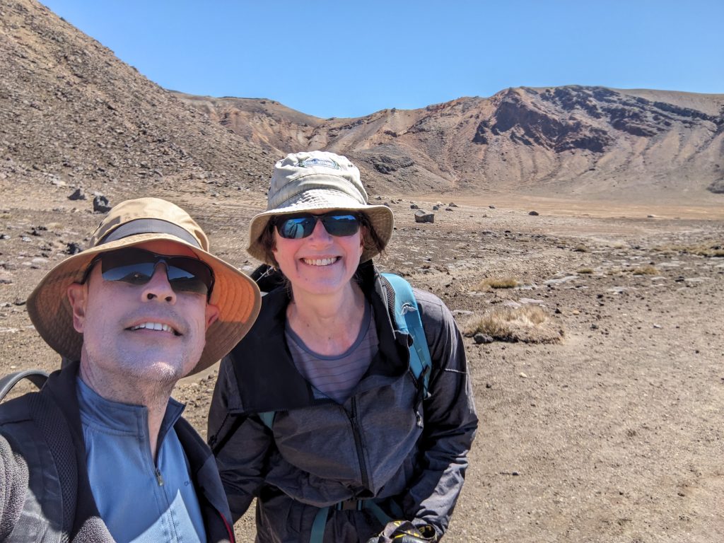
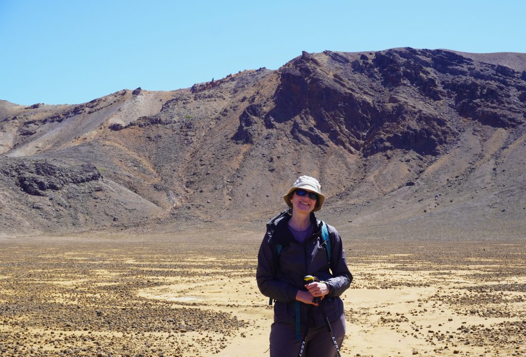
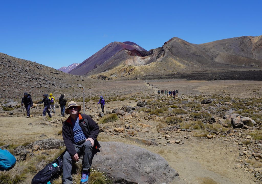
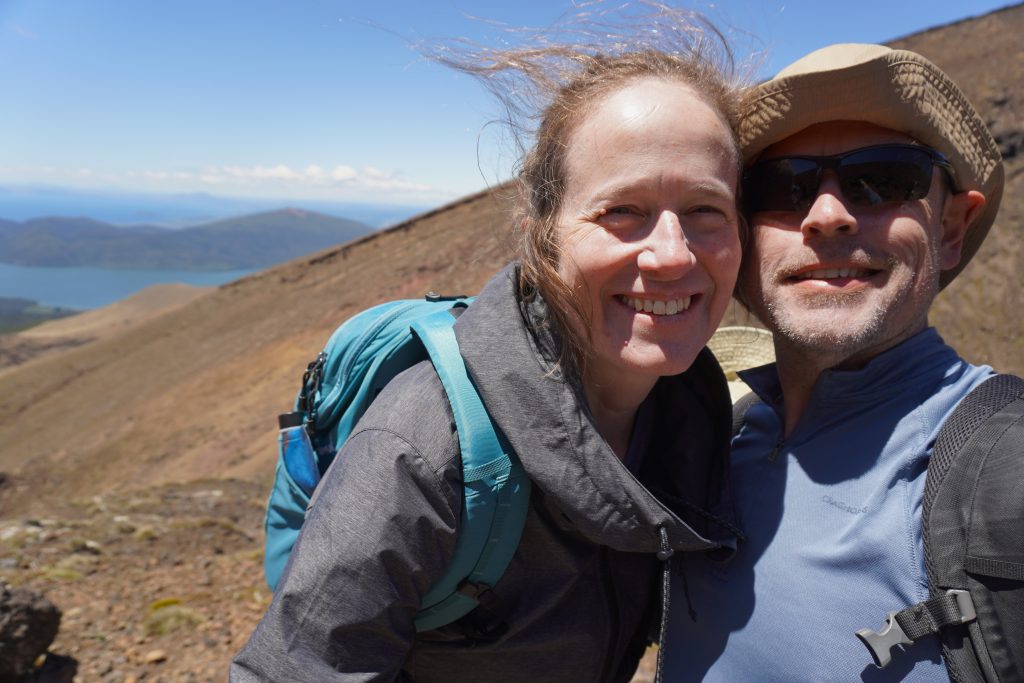
The trail takes you across South Crater, and then there is another climb up to Red Crater and the highest elevation of the crossing. Although we hadn’t trained for this hike, we are good walkers and can keep going. We did stop a bit for photos and a quick snack here and there, but overall we climbed slowly and steadily.
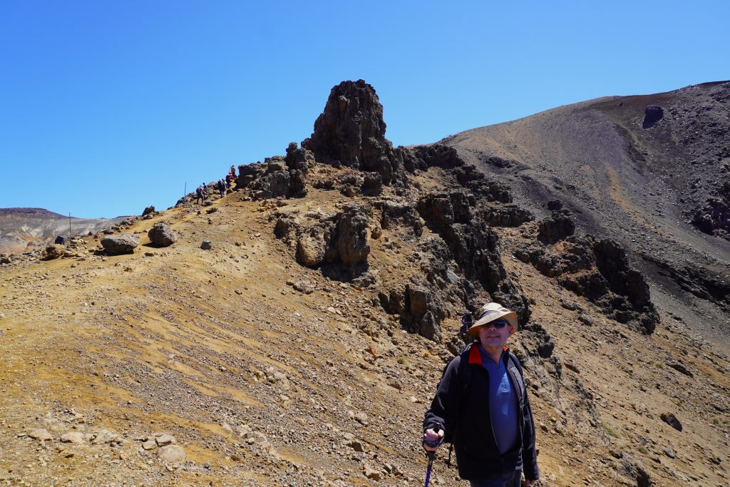
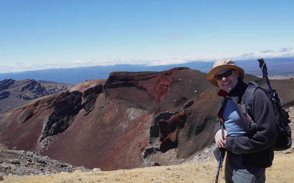
It had been somewhat windy the whole day, which we were grateful for at lower elevation because it kept it from being so hot. However, as we neared Red Crater and the highest point of the trail, the wind strengthened. As we came past Red Crater we stopped to take in the view, and got hit by a huge gust of wind. Then, as we turned to head over the top, we had to brace ourselves using our poles not to get knocked over. I called back to Adam, “Should we go back?” but there were people all around us moving forward, so we thought we’d keep going. And, indeed, as soon as we got over the top of the ridge the wind wasn’t quite as bad anymore.
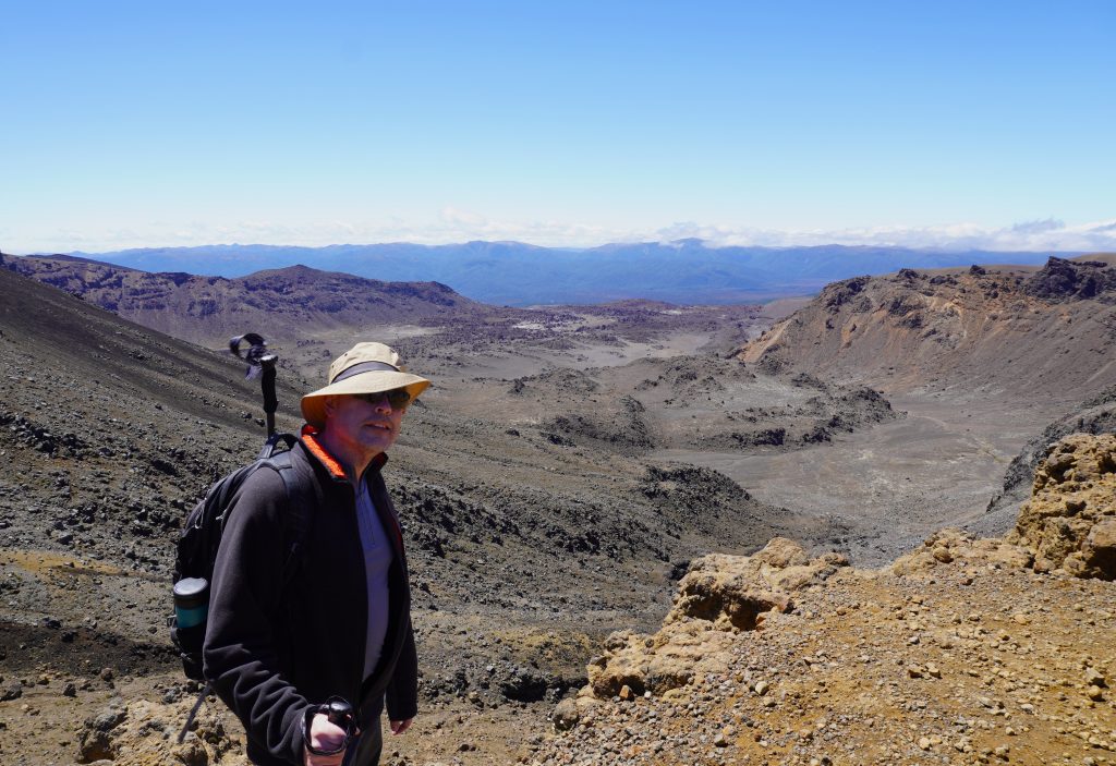
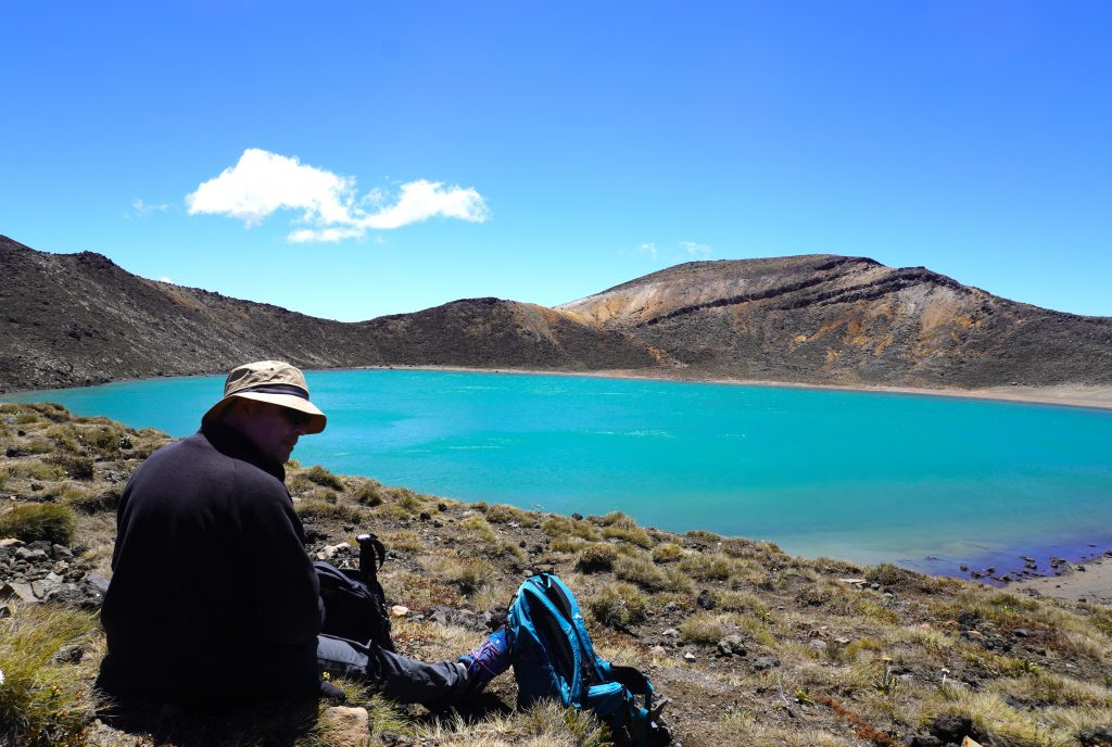
On the other side, the trail continued very steeply down a slippery scoria slope to a series of emerald lakes. The view from this side of the mountain was fantastic! The blue of the lakes and the sky kept us company as we slowly picked our way down the trail.
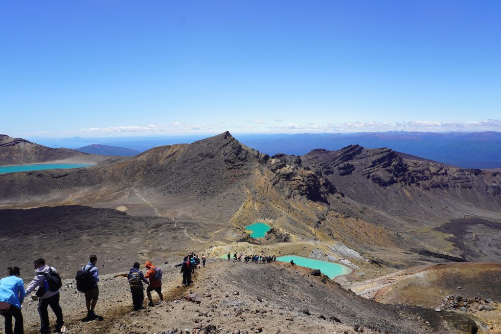
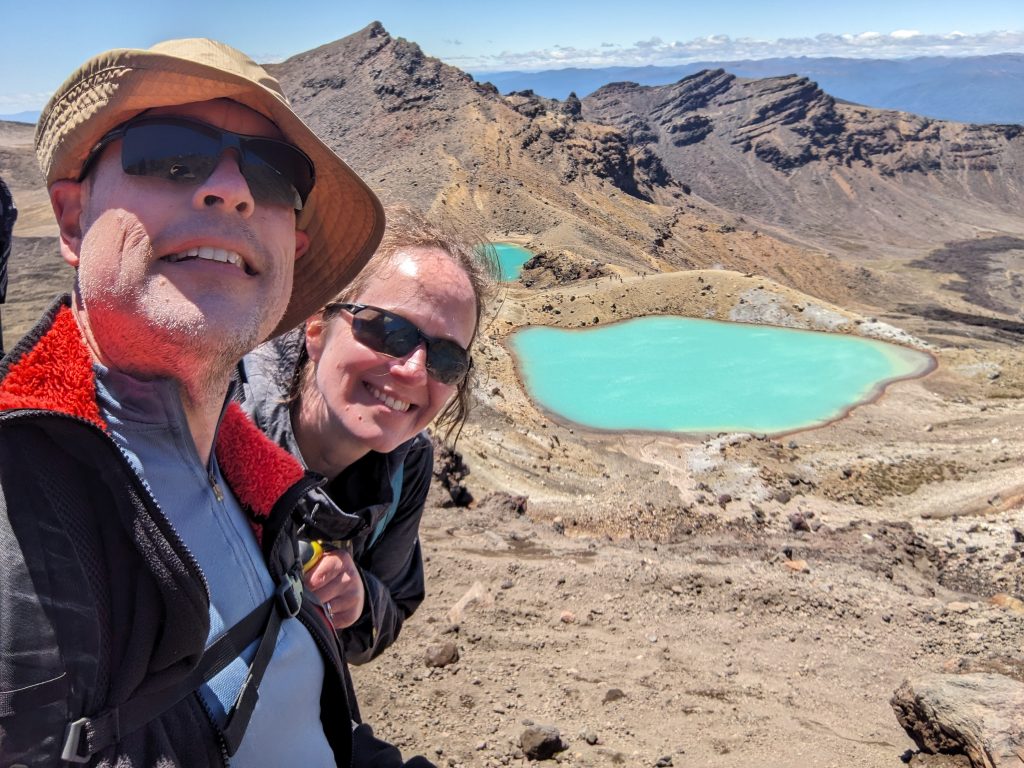
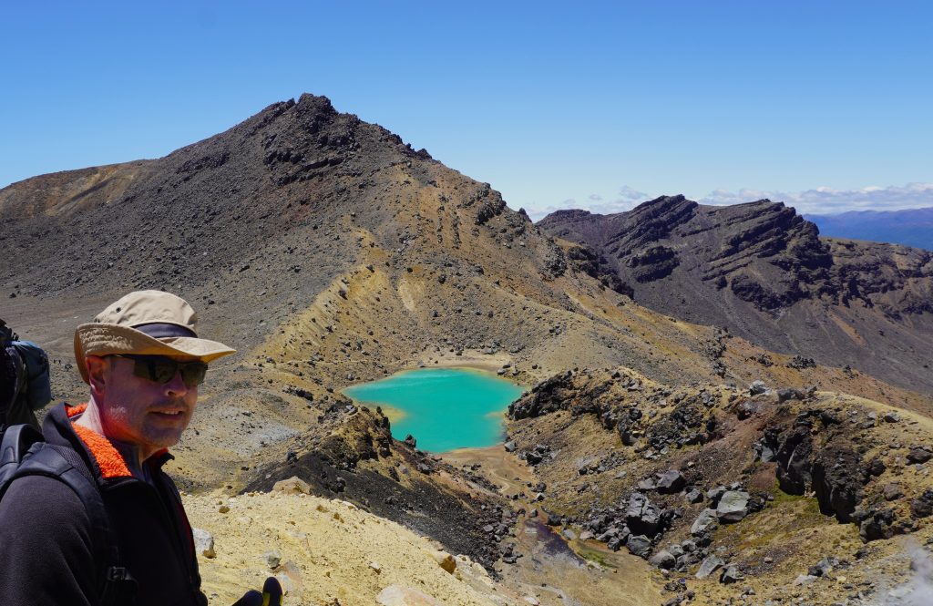
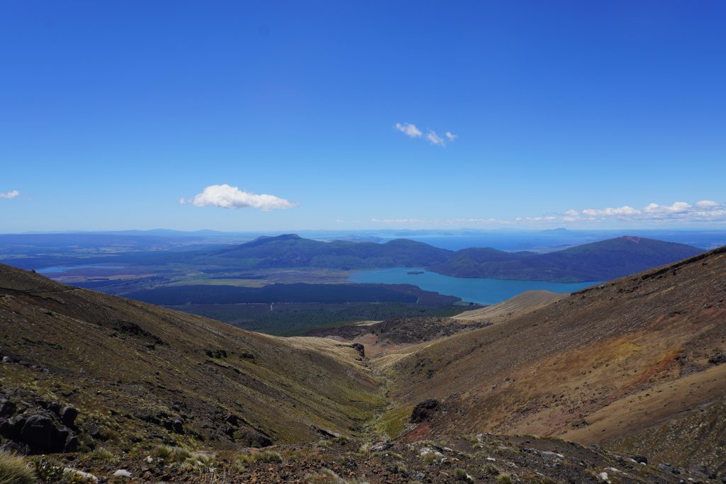
In between one set of emerald lakes and another there was a bit of a valley walk. We stopped for a drink of water and a snack and enjoyed the view of Red Crater and Mt. Ngauruhoe. There was one last lake: Te Wai Whakaata o Te Rangihīroa / Blue Lake, and then a long descent to the Ketetahi Car Park. By the end, we were hurting! Those last 3 km were killer. But we made it in 8.5 hours! And what a day we had!
1 thought on “New Zealand Part 2: Tongariro Alpine Crossing”
Comments are closed.